CNN satellite images suggest repairs at the Parchin military complex. Slovak media have not yet reported it
11.07.2026 16:06
HotInfo
Share
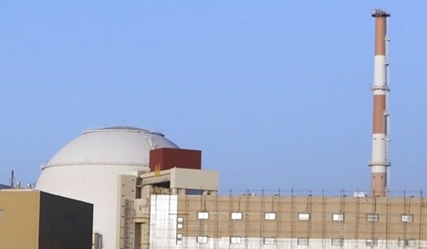
New satellite images analyzed by CNN together with the Washington-based Institute for Science and International Security (ISIS) suggest that since June 22, Iran has been repairing the bombed Taleghan 2 facility at the Parchin military complex — a site experts believe stores explosives used in the development of nuclear weapons. Images from June 22 and July 7 show that temporary tarps covering the impact craters have been replaced by a more durable mesh, and concrete mixers have appeared in the vicinity — work pointing toward permanent repair rather than mere debris removal. The activity falls within a period when, under a June memorandum with the US, Iran was supposed to freeze the state of its nuclear program, which could intensify the dispute over how the memorandum should be interpreted.
Key actors — tap for context
Trump
US President who repeatedly shifted course in the conflict with Iran, from threats of "total destruction" to promises of a ceasefire.
Why here: He declared the memorandum with Iran void, but satellite images suggest repairs at Parchin began even before his declaration.
The Washington-based Institute for Science and International Security — a think tank that analyzes satellite images of nuclear facilities (not related to the terrorist organization of the same name).
Why here: Co-author of the analysis on which CNN bases its conclusions.
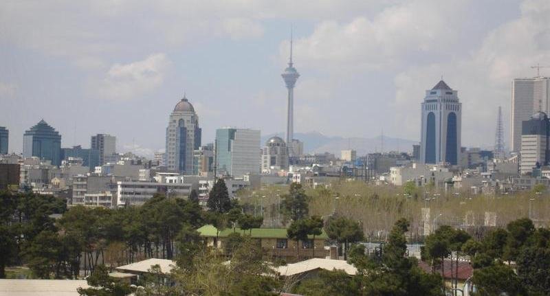
According to CNN and the ISIS analysis, this concerns two locations. The first is Taleghan 2 at the Parchin complex, about 30 kilometers southeast of Tehran — a site the International Atomic Energy Agency (IAEA) links to Iran's Amad program: until 2003, explosive systems simulating the implosion of a nuclear warhead were reportedly tested there. Iran has long denied the existence of the Amad program. ORF ↗ The second location is the so-called Pickaxe Mountain, another suspected nuclear facility, where new images show trucks entering and exiting tunnels. Digi24 ↗ Both CNN and the ISIS analysts phrase their conclusions cautiously — speaking of probability rather than certainty — but they agree that this represents a shift from damage clearance to permanent reconstruction. CNN ↗
Why the timing is disputed
The memorandum Tehran signed with Washington on June 17 was meant to bind Iran not to attempt to acquire or develop nuclear weapons. Yet the first satellite images showing work to seal the impact openings date back to June 22 — just five days after the signing, during a period when the ceasefire was supposed to still be in effect. The most recent images are from July 7 — the same day Iran, according to Washington, attacked merchant ships in the Strait of Hormuz, Trump declared that the memorandum had "lost effect," and the US resumed strikes on Iranian targets. Európska pravda ↗ The sequence of events thus complicates the interpretation of the memorandum — whether the repair work itself could have constituted a breach of the status quo, or whether the open rupture only occurred once the American strikes resumed. Iran's Foreign Minister Abbás Arakčí maintains that Tehran upheld its obligations and that Washington is the one violating the agreement. seznamzpravy.cz ↗ Tehran has not yet officially commented on the new satellite images — neither confirming nor denying them.
How the story spread across Europe
CNN published the investigation on the evening of July 10. Within a few hours it was picked up by newsrooms across Central Europe: in Romania it was reported by both Digi24 and HotNews.ro HotNews.ro ↗, in Poland by Onet Onet ↗, in Hungary by Telex Telex ↗, in Austria by ORF ORF ↗, and in Germany by Die Zeit Die Zeit ↗. Ukraine's Európska pravda also ran its own version of the story. Across the Slovak news websites HotInfo monitors, the story did not appear at all during the morning of July 11. The Czech outlets idnes.cz idnes.cz ↗ and lidovky.cz lidovky.cz ↗ only picked it up in the afternoon — nearly a full day after the original publication.
The limits of what we know
Satellite analysis has its limits. Both CNN and ISIS acknowledge that they are interpreting the images from the outside, without access to the site, and frame their conclusions as probability rather than confirmed fact. It remains an open question whether this is routine maintenance of damaged infrastructure or a deliberate step toward restoring nuclear capacity — a distinction the photographs alone cannot resolve.
What hotinfo is following
Will the IAEA or the US administration take an official position on the satellite findings? Will Tehran confirm the repairs at Taleghan 2 and Pickaxe Mountain, or deny them? Will Washington formally declare the memorandum with Iran dead, or will negotiations over the Strait of Hormuz resume by mid-July — this follows our earlier coverage of Iran's post-war nuclear question (Trump Was Deceived and Iran Emerged Stronger From the War, Dabashi Says in Expresso Interview). And finally, will similar satellite evidence emerge for other bombed sites — Fordow, Natanz, or Isfahan?
On Record
👤
Abbás ArakčíMinister zahraničných vecí Iránu
29.09.2026
„Předložili jsme mírové řešení"
Vyjadrenie o návrhoch Teheránu pre rokovania so Spojenými štátmi
👤
Abbás ArakčíMinister zahraničných vecí Iránu
18.04.2026
„Hormuzský prieliv je úplne otvorený všetkým obchodným plavidlám počas trvania prímeria"
Oznámenie iránskeho ministra o otvorení strategickej cesty pre globálny obchod