






China has begun construction of the world's largest hydropower plant, and it is building it in one of the planet's most geologically unstable locations. The system of dams on the lower course of the Yarlung Tsangpo River in Tibet is designed to produce approximately 300 terawatt-hours of electricity annually — roughly three times the output of China's Three Gorges Dam, and more than all hydropower plants in the United States generated in 2024. The Romanian daily Adevărul, drawing on the Live Science portal, highlighted the project precisely because of the combination of its record-breaking scale, earthquake risk, and the concerns of 130 million people living downstream. Adevărul ↗
Construction was officially launched by Chinese Premier Li Qiang on July 19, 2025, who called it the "project of the century." The plant's installed capacity is expected to exceed 60 gigawatts, and total costs are estimated at 1.2 trillion yuan, or approximately $167 billion. The project makes use of the so-called Great Bend of the river beneath the Himalayan massif of Namcha Barwa, where the water drops by about 2,000 meters over a stretch just 50 kilometers long — an exceptionally favorable gradient for power generation. The Diplomat ↗
The main problem is location. The Tibetan Plateau is among the most seismically active regions on Earth: the construction site lies in a zone where the Indian and Eurasian tectonic plates are pushing against each other, raising the Himalayas. In 1950, the region was struck by the devastating Assam–Tibet earthquake, with a magnitude of around 8.6. Scientists warn that extensive excavation, tunnels bored through the massif, and the impoundment of a huge volume of water could further worsen the geological instability in an already vulnerable region. The Conversation ↗
However, the greatest tension arises from what happens further downstream. After entering India, the Yarlung Tsangpo becomes the Brahmaputra River, sustaining agriculture, fishing, and water supply for more than 130 million people in the Indian states of Arunachal Pradesh and Assam, as well as in Bangladesh. Both New Delhi and Dhaka fear that Beijing could use the river's flow as a lever of power — withholding water during droughts or releasing it during the monsoon season. India has so far responded cautiously, but has indicated it is closely monitoring the situation and is preparing its own dam on the Siang River. Lowy Institute ↗
Beijing defends the project by claiming it lies "entirely within China's sovereignty" and will help the transition to clean energy and reduce emissions. However, China has not yet published a detailed study of the project's impact on downstream countries — and critics say it is precisely this lack of transparency that is the main source of uncertainty. ISDP ↗

China Is Building the World's Largest Dam in a Seismic Zone. Megaproject on the Brahmaputra Worries 130 Million People in India and Bangladesh
🔥 You might also like

Technology
Nexperia turns to India after split with China. The dispute that threatened Slovak carmakers last year has moved to the courts
Nexperia signed a memorandum with India's Tata on chip production. The dispute with its Chinese owner, which last year threatened car plant shutdowns, continues …

European Union
What Europe is writing about: Sweden decides the country's course today, the Kremlin rejected a summit with Zelensky, a ferry with 243 people vanished off Java
Sweden votes today amid a far-right battle, the Kremlin rejected a Putin-Zelensky summit, a ferry with 243 people vanished in a storm. A 37-country roundup.
Science
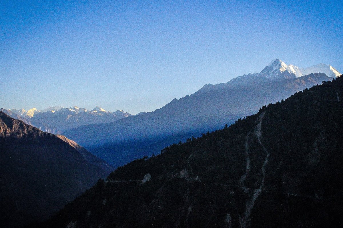
Early Warning System for Nepal Awaits Funding for Years. German Government Refused to Pay
German scientists have a ready-made system to warn of flash floods in Nepal. The government refused to fund it; eight million euros are missing.
Geographic locations





From our newsroom original
All →
Attacker with Knives Attacks Police Officer Near Israeli Embassy in Belgrade

Meloni to present budget law to Italian government

Flávio Bolsonaro left for the USA after election defeat
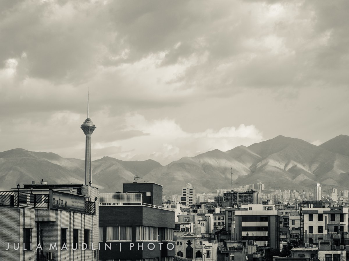
Mecca Pact Countries Held Their First Joint Talks in Tehran. They Agreed Only to Keep Talking
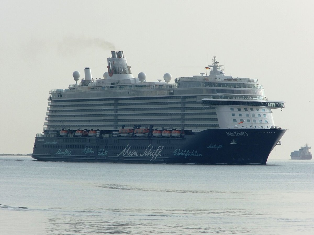
Cruise ship with over 3,300 people on board collided with two container ships in Bremerhaven

Swiss court convicts Belarusian over disappearance of Lukashenko opponent in 1999

Serbia a day after Vučić: RTS staff want new leadership, academics give rector 72 hours

France ahead of the October 24 protest: Paris bans demonstrations, Macron convenes intelligence chiefs, Le Pen rises in polls
