



Key actors — tap for context
Dnipro OSINT
a Ukrainian OSINT project active on Telegram and on X
Why here: is the sole original source of the claim about the collapsed span
Chonhar Bridge
a road bridge across the Chonhar Strait, one of the main land links between Crimea and southern Ukraine
Why here: according to the images, its span collapsed at the end of September

Crimea
a peninsula that Russia annexed in 2014
Why here: the bridge is its land connection to the occupied Kherson Oblast
More info →
Kherson Oblast
a Ukrainian region in the south of the country, partly under Russian occupation
Why here: lies north of the bridge
More info →
Robert Brovdi
commander of the Ukrainian Unmanned Systems Forces
Why here: in June he spoke of a sharp drop in freight traffic on the road across the bridge
More info →
Volodymyr Saldo
the Russian-installed head of the occupied Kherson Oblast
Why here: in June he acknowledged damage to the bridge and temporarily suspended traffic
More info →What the images show
Dnipro OSINT attributes the damage to new attacks and says that traffic through the area is now significantly more difficult. Kyiv Post ↗ The Ukrainian portal Militarnyi notes that after the June attacks, Russian forces set up a pontoon bridge and alternative routes through Armiansk and Perekop, and that, according to it, they are also still using the old road bridge and a temporary crossing. Militarnyi ↗ For the October images, both outlets rely on Dnipro OSINT, so this is one source presented in two voices, not two independent confirmations.Why this bridge matters
The R-280 "Novorossija" highway runs across the bridge, linking Rostov-on-Don with Crimea, and serves as an important logistics route for the Russian army. Kyiv Independent ↗ Ukraine already struck the bridge in June: on 7 June with FP-2 and Behemot drones, and again on 9 June. Militarnyi ↗ After the June attack, the Ukrainian center for countering disinformation declared the bridge destroyed, while Saldo acknowledged the damage and temporarily suspended traffic. Commander Brovdi then said that freight traffic on the R-280 fell by 71% within two weeks, from about 3,800 to 1,100 vehicles per day. Kyiv Independent ↗ This is a Ukrainian statement, not an independent measurement.What is still unclear
Dnipro OSINT speaks only of "new attacks" and does not say who struck the bridge, when, or with what. We found no official confirmation of the October damage, either from the Ukrainian General Staff or from Russian authorities. The current state of the adjacent crossing, which according to the 26 September image has holes in the roadway, is also unknown, as is how much the slowdown in traffic affects supplies.What hotinfo Is Watching
- Ukrajinský Generálny štáb alebo veliteľ bezpilotných síl poškodenie mosta potvrdil a pripísal útok
- Ruské úrady v Chersonskej oblasti oznámili obmedzenie alebo uzavretie premávky cez Čonhar
- Nové satelitné snímky ukázali opravu alebo obchádzku zrúteného poľa
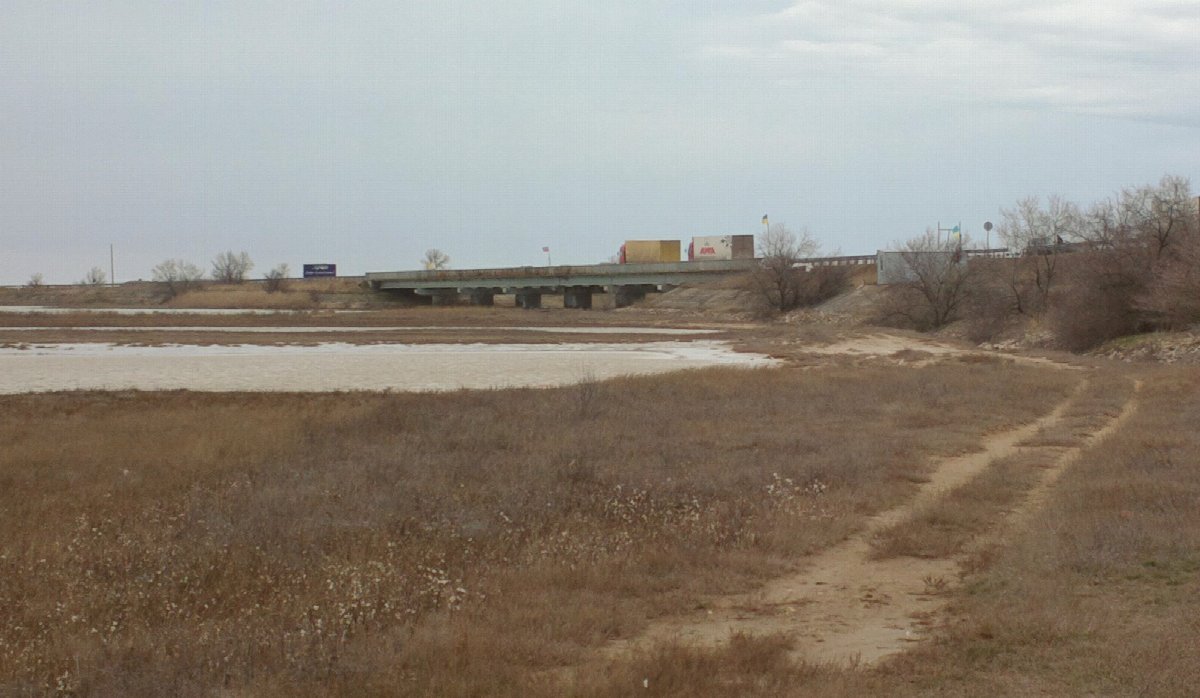
*Lead photo: an archival image of the road bridge near Chonhar with a line of trucks on the Ukrainian side, 31 January 2015, that is, from before the current war. Photo by teteria sonnna, CC BY 2.0 (Wikimedia Commons).*