



Key actors — tap for context

Najvyšší kontrolný úrad
Independent state body that audits the management of public funds.
Why here: It is the author of both the MuMAP application and the quality-of-life ranking discussed here.
More info →
Gbeľany
A village in the Žilina district, nine kilometers east of the regional capital, with roughly 1,600 residents.
Why here: It ranked first among 2,924 municipalities in the current assessment, as it did in the first edition.
More info →
Teplička nad Váhom
A village in the Žilina district, three kilometers east of Žilina, the first village on the way to Terchová.
Why here: Second place in the current assessment, eighteen points behind Gbeľany.
More info →
Žilina
A regional capital in northern Slovakia.
Why here: Both villages at the top of the ranking lie in its district.
More info →
Veľké Borové
A small mountain village in northern Slovakia, in the Liptovský Mikuláš district.
Why here: Together with neighboring Malé Borové, it is among the ten lowest-rated municipalities.
More info →
Skerešovo
A village in the Revúca district in the south of central Slovakia.
Why here: One of four villages from the Revúca district among the ten lowest-rated.
More info →
Štatistický úrad
The central state statistical authority.
Why here: It supplies the assessment with data on demographics, election turnout, and cultural facilities.
More info →Inštitút environmentálnej politiky
Analytical unit of the Ministry of the Environment.
Why here: Its data provides both the extreme weather risk figure and the transport poverty indicator.
Ústredie práce, sociálnych vecí a rodiny
State authority managing employment services and social affairs.
Why here: It supplies the unemployment figure that feeds into the economic activity area.
Eighteen indicators across ten areas
The assessment lives in the MuMAP web application, which the audit office has been running for several years. Each municipality can earn a maximum of 3,000 points, and points are averaged across the individual indicators and areas. There are ten areas: demographics, economic activity, healthcare, education, safety, environment, civic engagement, social care, culture, and transport. NKÚ MuMAP ↗For each indicator, the application also states the source and the year. Demographics is the change in population in 2025 compared with 2011, economic activity is the share of available jobseekers among the working-age population for 2025, and safety is the number of crimes per thousand residents for 2025. Education consists of kindergarten capacity and the commuting distance to the nearest primary and secondary school. NKÚ MuMAP ↗
Two of the ten areas rest entirely on distance. Healthcare has a single indicator — the commuting distance to the nearest general hospital. Social care also has just one — the commuting distance to the nearest facility for seniors. In education, distances make up two of three indicators, and the same is true in the environment area, where the indicator used is the straight-line distance from a landfill. The overall score therefore does not separate the contribution of municipal leadership from factors a municipality cannot influence. The office links it to how a municipality provides services and creates living conditions, and offers the application as a tool for comparing the availability of services and infrastructure. NKÚ MuMAP ↗ Najvyšší kontrolný úrad ↗
One score, six different vintages of data
The spread of years involved is considerable. The oldest figure in the assessment is the average degree of extreme weather risk from 2018, sourced from the Institute for Environmental Policy. Next comes the number of theaters from 2020 and turnout in the 2022 municipal elections — which cannot even change more often, since municipal elections are held once every four years. NKÚ MuMAP ↗From 2024 comes the share of residents connected to the public sewage system and most of the cultural indicators — libraries, cinemas, museums, galleries, and children's leisure facilities. From 2025 come demographics, unemployment, crime, kindergarten capacity, distances to schools, and transport poverty. And the most recent are the registries from which the distances are calculated: categorized hospitals as of March 11, 2026, social care facilities as of March 12, 2026, and operating landfills as of November 1, 2025. NKÚ MuMAP ↗
A single figure thus combines an indicator from 2018 with a hospital registry from half a year ago. For some items this may not matter much, since others change little from year to year. What matters is that the application does not state which indicators are recalculated during the annual update and which retain their original value — so a reader cannot tell from the ranking whether a given figure has changed over those years.
What is measured has changed between editions
The second thing that complicates comparison across editions is a change in the methodology itself. In the first edition, published by the office in October 2024, municipalities were compared based on nine areas — demographics, economic activity, healthcare, education, safety, degree of extreme weather risk, election turnout, and social care combined with culture. Transport was not among them. Najvyšší kontrolný úrad ↗A year later, in August 2025, the office announced two new indicators: access to sewage systems and the degree of transport poverty risk, meaning limited access to regular connections to work, school, or a doctor. Transport thus became the tenth area. In the application, the distances to hospitals, schools, and social care facilities are now given as commuting distances, i.e., by road, not as the crow flies — that measure remains only for landfills. Najvyšší kontrolný úrad ↗
This represents a weight that did not exist in the first edition. A municipality with good bus connections and sewage access could thus have risen between the first and second editions without anything actually changing within it, and a municipality lacking those could have fallen for the same reason — for any specific municipality, this could only be confirmed by a breakdown of points by area. Comparing the first edition with later ones therefore does not measure the same thing. Between the second and third editions, the set of areas was already the same.
The ranking at the top changes every year
This is visible in the results as well. In the first edition, Gbeľany won with 2,494 points, Hôrky came second, and Nižná Jedľová third. Najvyšší kontrolný úrad ↗In the second edition, Lamač in Bratislava took first place with 2,543 points. Najvyšší kontrolný úrad ↗
In the current one, Gbeľany is back in first place with 2,544 points, Teplička nad Váhom is second with 2,526 points, and Lorinčík in Košice is third. Next come Košeca, Krasňany, Štiavnička, Ďurďošík, Lamač, Košťany nad Turcom, and Záhorská Bystrica. The gap between first and second place is eighteen points out of a scale of three thousand. Najvyšší kontrolný úrad ↗ Startitup ↗
The first two municipalities are from the Žilina district, the third is a city district of Košice. According to data cited by Startitup, Gbeľany had exactly 1,586 residents in 2025. The same source states that the village has no theater, cinema, or museum, meaning it cannot achieve full marks in the culture area, and reached first place on the strength of results in the other areas. Startitup ↗
Three regions at the opposite end
The ten lowest-rated municipalities are geographically concentrated. Four villages are from the Revúca district — Skerešovo, Rákoš, Hrlica, and Polina. Two are from the Veľký Krtíš district, Veľký Lom and Suché Brezovo, and one from the Lučenec district, Lentvora. That makes seven municipalities from the south of central Slovakia. The rest are Malé and Veľké Borové in the Liptovský Mikuláš district and Ruská Bystrá in the Sobrance district. Startitup ↗Separate context for that region comes from unemployment. STVR reported in spring that it is rising sharply in the south of central Slovakia, with the Rimavská Sobota district having the highest rate in the country, and Revúca also among the districts with an increase in jobseekers. STVR ↗
However, no conclusion about the state of the entire region can be drawn from ten municipalities. The ranking shows where the combination of tracked indicators is worst, not where a municipality is governed worst. For settlements far from hospitals, schools, and social care facilities, the score also reflects a location that the municipality cannot change. Wikipédia ↗
What hotinfo is watching
- Najvyšší kontrolný úrad pri ďalšej aktualizácii nahradil ukazovateľ ohrozenia extrémnym počasím z roku 2018 novším údajom.
- Najvyšší kontrolný úrad pri zverejnení poradia upozornil, že medziročné porovnanie je ovplyvnené zmenou metodiky.
- Po aprílovej aktualizácii sa poradie na prvých miestach opäť zmenilo.
- Najvyšší kontrolný úrad zverejnil, ktoré ukazovatele sa pri ročnej aktualizácii prepočítavajú a ktoré ostávajú nezmenené.
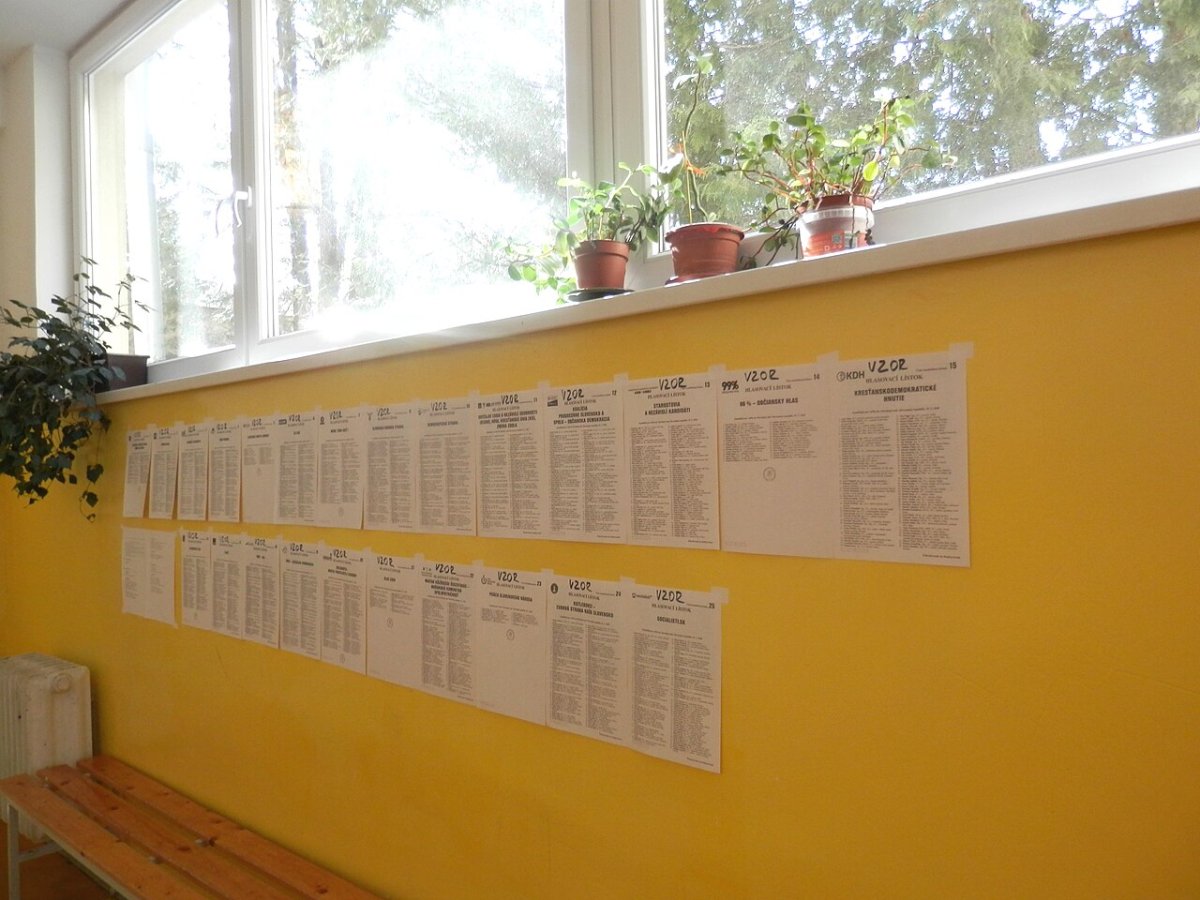
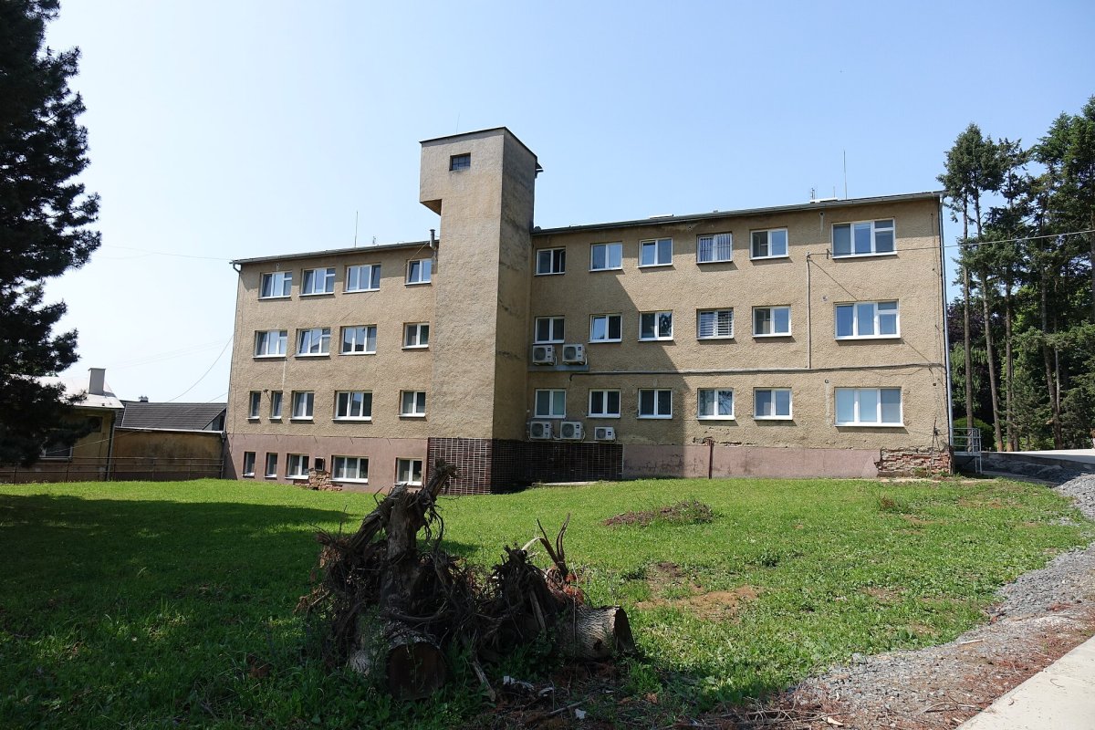
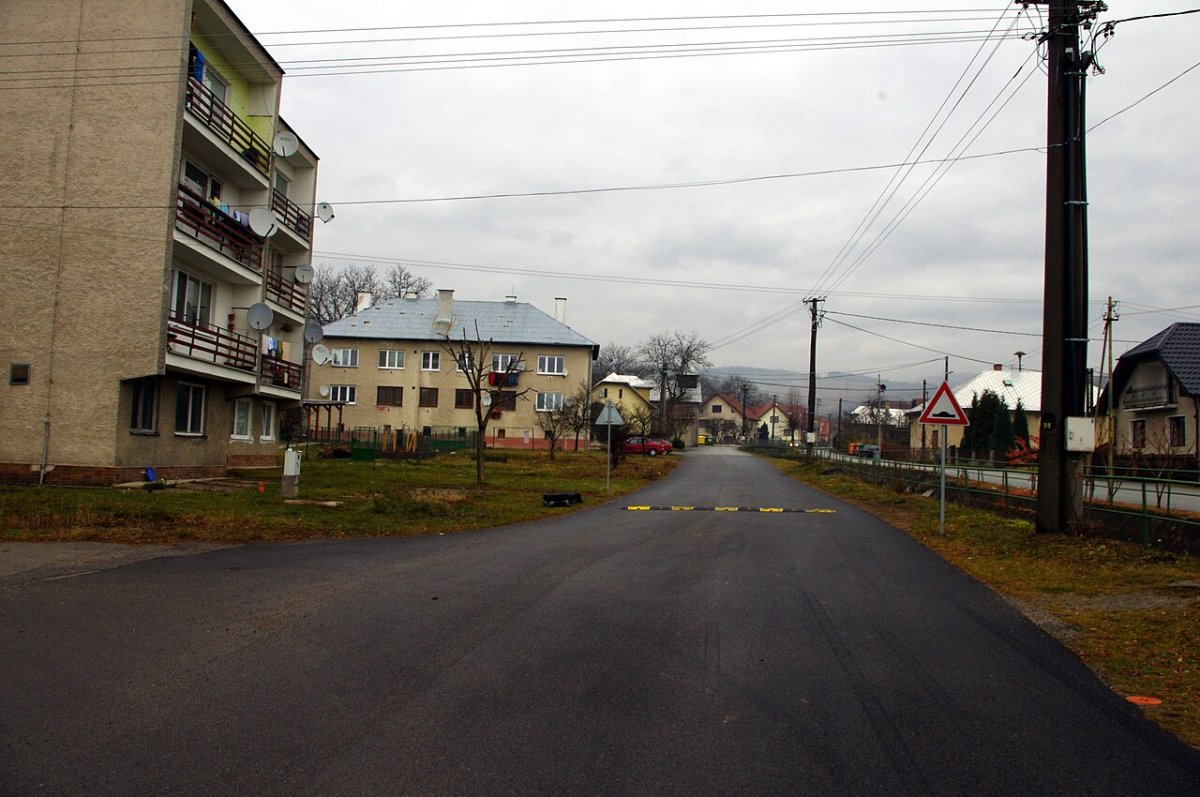
Illustrative photo: Gbeľany, a village in the Žilina district that took first place in the audit office's assessment. Photo: Rudko / Wikimedia Commons, CC0